
Wild West Weekender - day 2 route
Wild West Weekender day 2
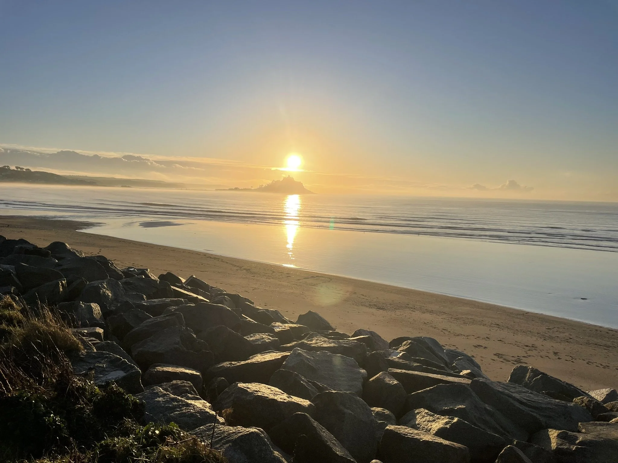
Day 2 of our event heads East - joining the Penzance to Marazion cycle path
Marazion / Mounts Bay
Marazion is one of the oldest chartered towns in Cornwall - granted by Henry III in 1257
Marazion translated from ancient Cornish means Thursday Market. In 1646 St Michaels Mount saw the siege of the mount by Cromwells army as the royalists final stronghold in the region. The pro-Cromwell Colonel John St Aubyn was appointed governor of the Mount and in 1659 bought the island his direct descendants still own the Mount,
There are numerous myths and legends of giants on the Mount at low tide in the bay signs of an ancient submerged forest can be seen.
From Marazion we pick up some trails leading us through to Goldsithney
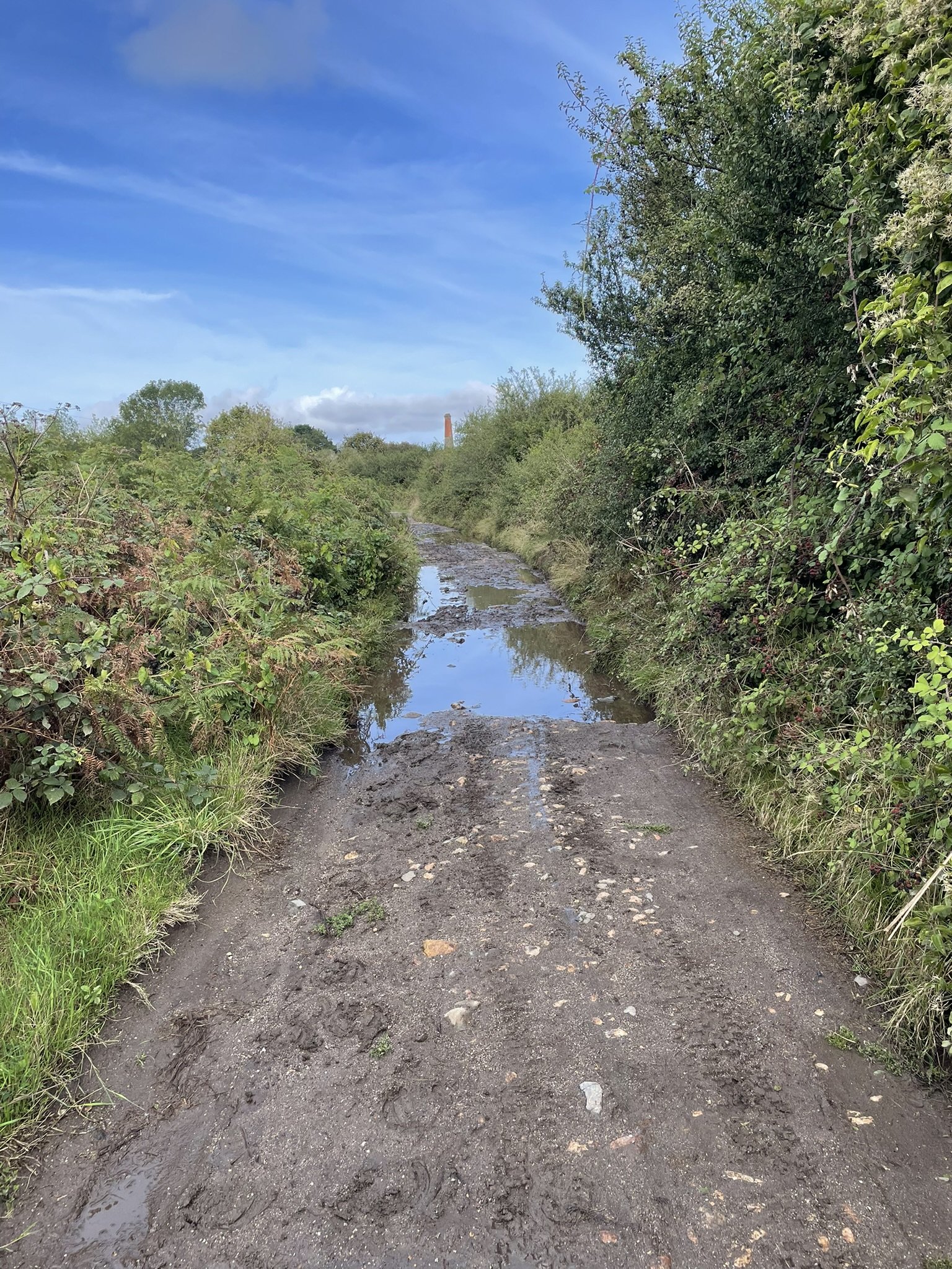
Goldsithney
An equally ancient town recorded in 1140 - famous now for its Charter Day which is celebrated in August each year. With links to smuggling and the nearby Prussia Cove.
We then take a mix of lanes and trails to reach Ashton
Godolphin Hill and Tregonning
Our route skirts the two high points on the East of Mounts Bay - both have ancient Bronze age settlements and recent tin mining history.
Crossing the main road we pick up the coastal road dropping down to Porthleven
Porthleven
The most Southerly working harbour in Great Britain. Famous for the winter storms crashing over the cobbled road heading to the iconic clock tower, often mistaken for a church. It now hosts some of the finest restaurants on the South Coast of Cornwall
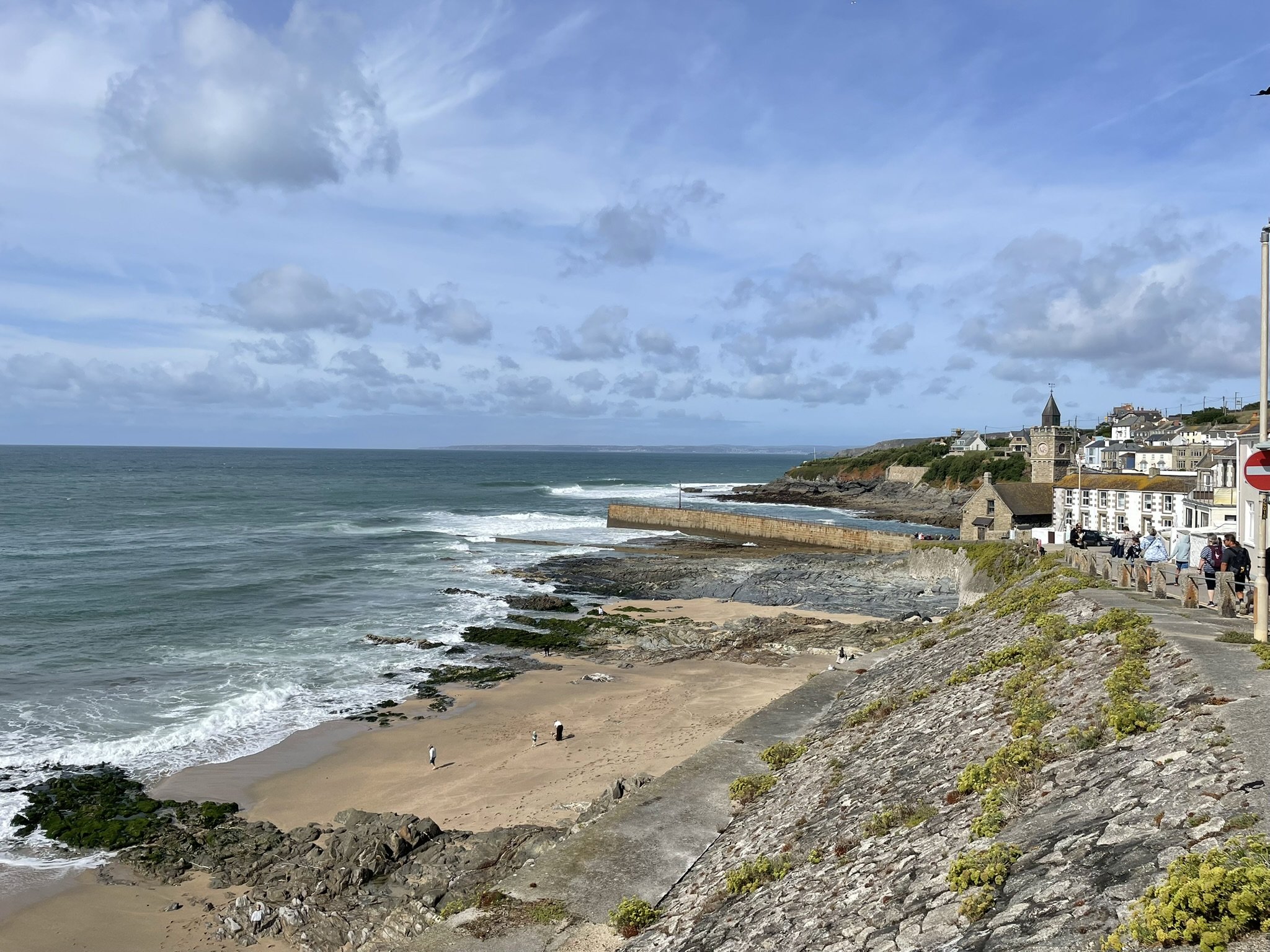
Our route takes us across some cobbles before pulling up to join the shared path to Penrose Park
Loe Bar and Penrose Park
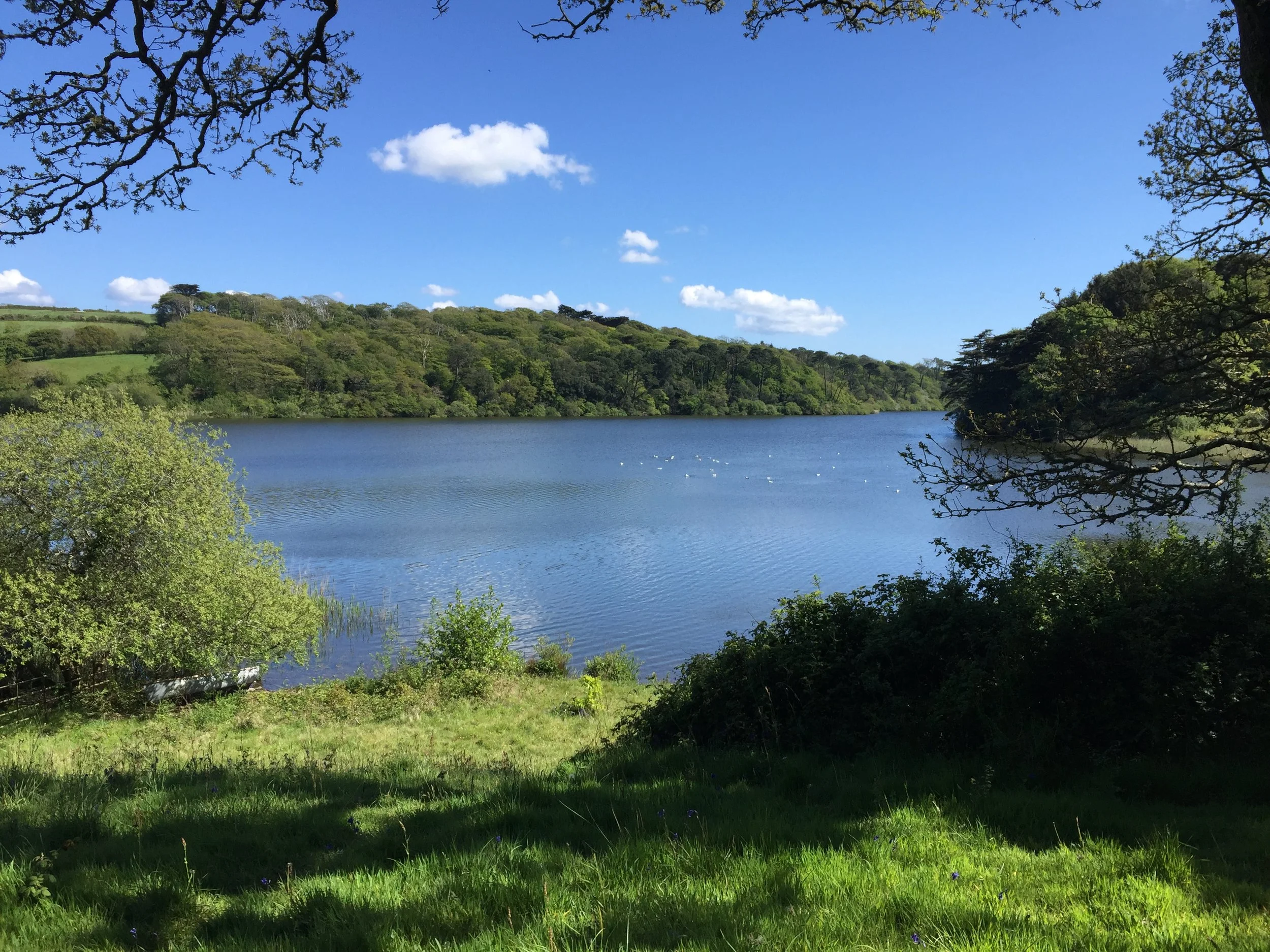
Is the home to Cornwall’s largest natural freshwater lake, the shingle bar separates the sea from the lake. The lake was once open and allowed access to the old harbour at nearby Helston.
The Penrose estate has a strict condition of peace - part of the 1974 gift to the National Trust - so no swimming or sailing in the lake.
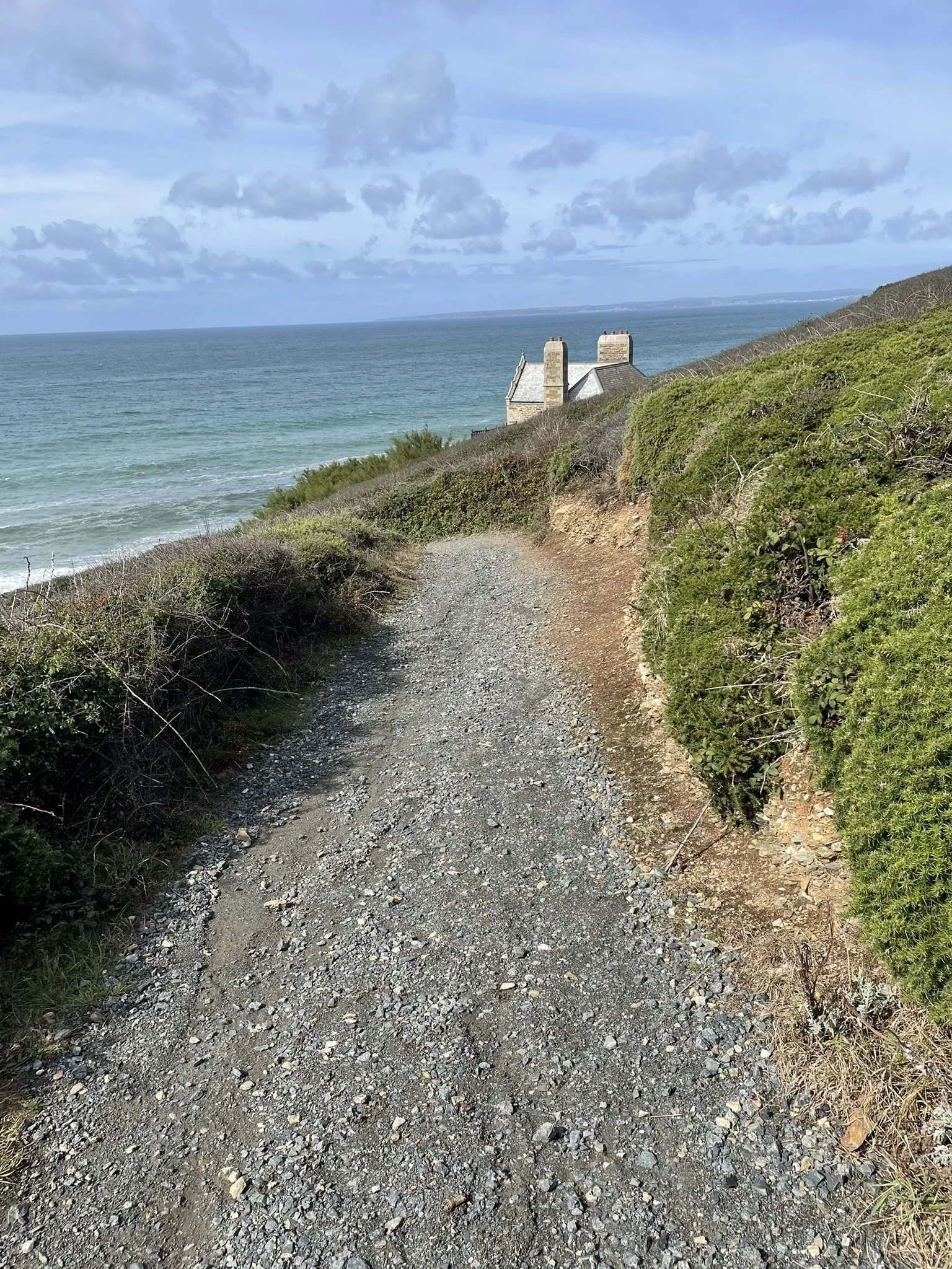
We wind our way through some back streets of Helston
Helston
Another Cornish town with an ancient charter 1201, it is also a stannary town, where medival miners brought their metal to be weighed and taxed. Coinagehall Street gets its name from stamping coins. Helston is famous for its Flora day.
The main street has numerous leats, know locally as The Kennels, which are used to manage the flow of the river Cober.
Our route takes us down Five Wells Lane which features an ancient public water drinking well from 1703
We climb up through Church Street and through a modern housing estate to Lowertown which sits on the river Cober that flows through Helston and feeds the lake at Penrose. It’s home to St Johns Old Mill - a 13th century watermill that only stopped working in 1937
We continue climbing on a mixture of lanes and trails and pass under remnants of the old Helston railway before joining the lanes at Coverack Bridges.
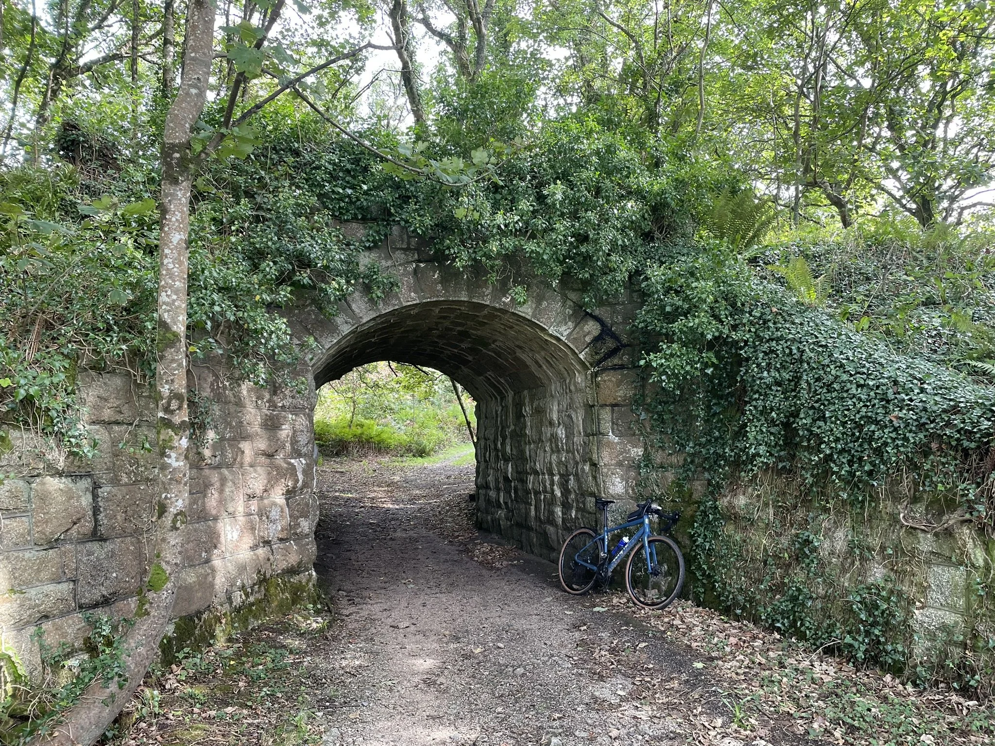
At the height of its industrial heritage the Cober river was home to 32 waterwheels powering the industry in the now quiet countryside.
The route then climbs up to its highest point.
Releath and Black Rock
We pass through the small hamlet of Releath, again home to an impressive and productive mine. The highest point in the area Black Rock offers amazing views on a clear day of the North Coast.
Finally we start descending through lanes.
Baripper
Our route drops down to Baripper - who’s French inspired name translates to beautiful resting place - its sits on an ancient pilgrim route to St Michaels Mount.
It is also famous for Baripper harbour, the landlocked village has no harbour but its thought it relates to a series of stepping stones over a stream.
At Roseworthy we stop our descending and climb on trails to reach Gwinear.
Roseworthy and Gwinear
Our route drops down into this small hamlet, once home to an ancient chapel and holy well and an intricate celtic cross (that was removed to Lanherne) we then climb through a network of trails towards Gwinear. We pass by the old railway station and through a busy farming business, Gwinear named after St Gwinear an Irish missionary. The church at Gwinear built in 1441 has an interesting masons mark depicting what is thought to be a native Americans face - it was carved 50 years before Columbus discovered the Americas,
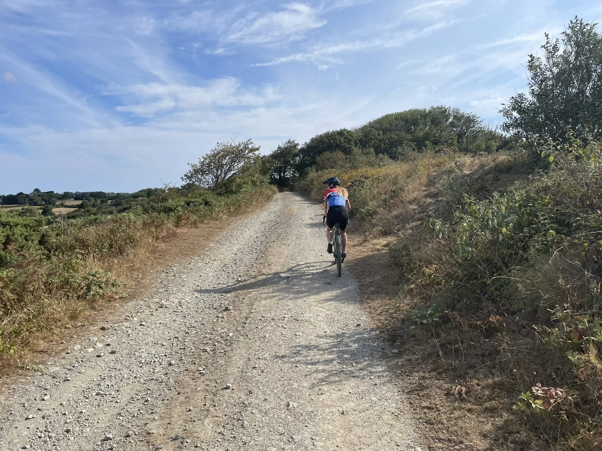
A mixture of trails and lanes gets us to the village of St Erth
St Erth
St Erth is another ancient village with a famous 600 year old 3 arched bridge that used to carry the main road.
The route then returns back to Mounts Bay
The section between St Erth and Marazion is the narrowest part of the county - 4 miles from the North to South coast
It will be a low tide when we get to the Bay so there is an opportunity to ride across the causeway to the Mount.
When we reach Marazion we take some back lanes and trails back to the start location.
Here’s a little information on the route and bike setup.
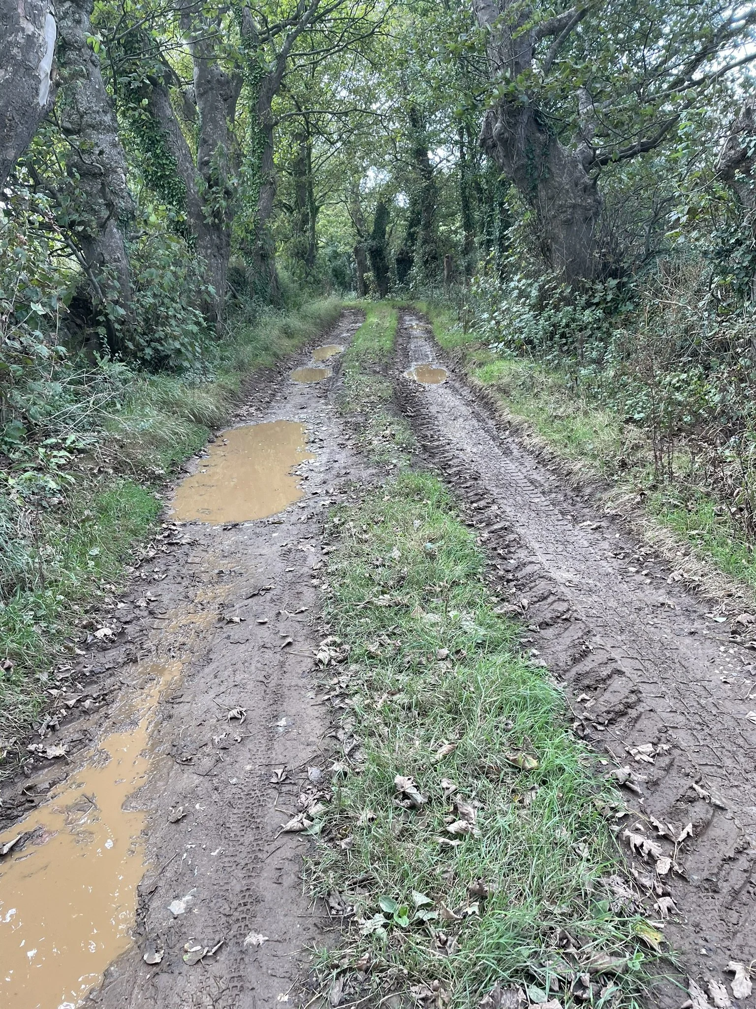
All of the photos have been taken over the past few weeks while checking out the route - they have been very dry through the summer but we have had some rain in late August/early September - some sections are used by farm traffic so can be muddy in places (hopefully the pictures show the worse parts).
Gravel bikes are the best option for the route we have plotted - there are some rocky sections but nothing is too challenging (one of our club members, who doesn’t usually ride off road, road day 2s route on a 28mm road tyre on the front and a 33mm gravel tyre on the rear - and had no issues or punctures!).
There are a couple of very short sections which you’ll likely have to push the bike so mtb shoes would be a good idea (but not essential).
There is some climbing, some of which is off road, so low gearing helps.
There are not many rocky descents, only one section towards the end of day 2, its a short section and walkable if you’re not comfortable.
How long will it take to ride each route? Well we have all day to ride the routes but gravel miles feel much longer than road miles, so please be prepared for long days in the saddle (our recce rides were around 10mph) and make sure you eat and drink often to keep topping your energy.
The overall concept of the route is to offer a taste of some of the best trails and lanes in the area, together with stunning views, interesting places and opportunities to stop by the sea. There are options to tweak the routes on each day depending on the dynamic of the group.
Hope this information helps - it’s been fun planning this!
To enter please visit the event website https://saddletoseaadventures.com/